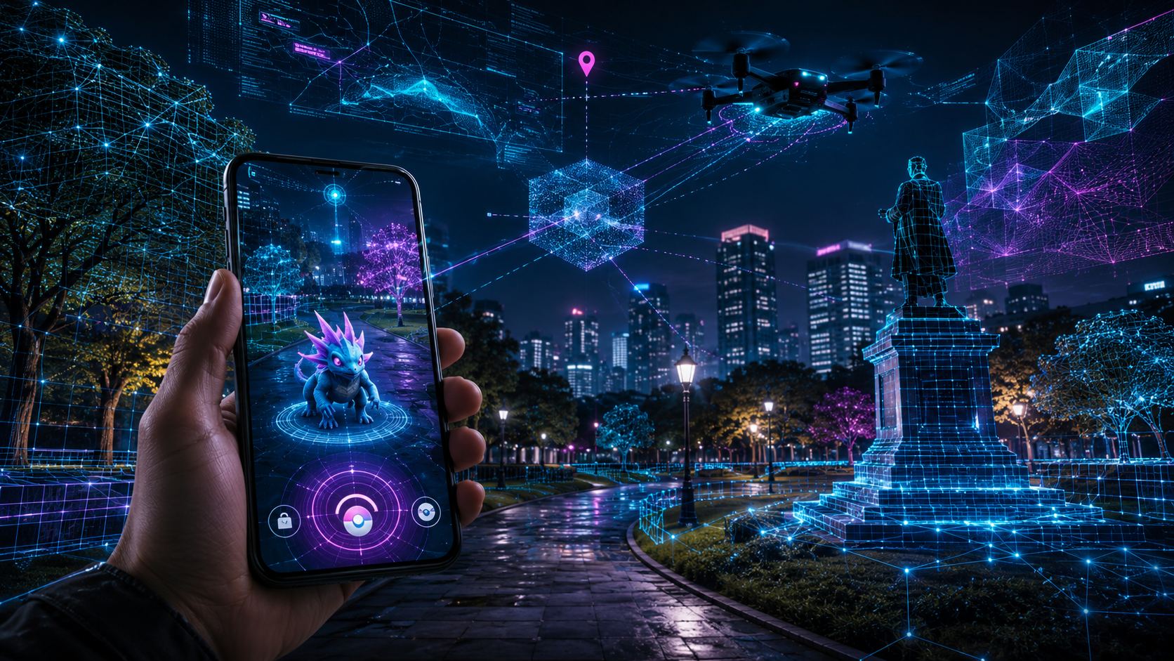
Pokémon Go was never just about catching monsters. It was also one of the most successful real-world mapping operations ever built into a game. Now, years of voluntary AR scans from players are sitting at the center of a much sharper debate: what happens when playful consumer data helps train AI systems that may be useful for military drones?
According to reporting highlighted by THE DECODER, scans created by Pokémon Go players helped train Niantic Spatial’s camera-based navigation models. Niantic Spatial is now working with Vantor, a U.S. defense contractor, on visual positioning technology designed for GPS-denied environments.
That does not mean Pokémon Go players directly sent drone data to the Pentagon. It does mean a familiar pattern is getting harder to ignore: consumer platforms collect reality at massive scale, AI turns it into infrastructure, and the final use case may look very different from the reason users tapped “accept.”
Table of contents
- From PokéStops to spatial AI
- What Niantic Spatial and Vantor are building
- Why GPS-denied navigation matters
- The consent problem
- Not a simple data handoff
- Why this story is bigger than Pokémon Go
- Pokémon Go, AI, and drones: key questions
From PokéStops to spatial AI
The key detail goes back to 2021, when Niantic pushed players to scan real-world locations using their phones. In practice, that meant pointing a camera at streets, parks, buildings, trees, statues, shops, and other public landmarks around PokéStops and gyms.
Players were given in-game rewards for contributing. The feature was opt-in, and Niantic collected permissions. But the scale is what matters. Millions of users helped generate an enormous visual dataset of the physical world, captured from ground level and tied to specific locations.
Niantic later used player-contributed scans to help build its Large Geospatial Model, or LGM. In a 2024 company post, Niantic said it used scans of public real-world locations to train spatial AI capable of understanding places across viewpoints, times of day, and environmental conditions. That is the technical leap: not just mapping where things are, but helping machines understand how a place looks and how to localize within it.
In plain English, Pokémon Go players helped teach AI how to recognize the real world.
What Niantic Spatial and Vantor are building
Niantic has since changed shape. In 2025, the company announced a deal for Scopely to acquire its games business, including Pokémon Go, Pikmin Bloom, Monster Hunter Now, Campfire, and Wayfarer. Niantic also spun off its geospatial AI work into a separate company, Niantic Spatial.
That split matters because Niantic Spatial is not a game studio. It is focused on machine-readable maps, visual positioning, and spatial intelligence for AI systems.
In December 2025, Niantic Spatial announced a partnership with Vantor to develop a unified air-to-ground visual positioning system for GPS-denied areas. The companies described the goal as combining Niantic’s ground-level localization with Vantor’s aerial geospatial intelligence.
Vantor, for its part, is not a random software partner. The company works in defense and geospatial intelligence. In February 2026, Vantor said it had received a U.S. Army contract worth up to $217 million for immersive global 3D terrain used in training and mission rehearsal.
So the story is not “Pokémon Go directly powers military drones.” The more accurate version is more uncomfortable: player scans helped train Niantic Spatial’s foundation models, and that technology is now being adapted in a defense-linked navigation stack.
Why GPS-denied navigation matters
Modern drones, robots, vehicles, and soldiers often rely on satellite navigation. But GPS is fragile in contested environments. Signals can be jammed, spoofed, blocked, or degraded. In war zones, that is not a theoretical problem. It is a daily battlefield reality.
Visual positioning systems are one answer. Instead of asking satellites “where am I?”, a machine uses cameras and sensors to compare what it sees with a known 3D representation of the world. If the system recognizes the geometry of a street, building, ridge, intersection, or terrain feature, it can estimate its position without GPS.
That is useful for augmented reality. It is useful for delivery robots. It is useful for autonomous vehicles. It is also useful for drones operating where satellite navigation is unreliable.
This is why the Niantic Spatial and Vantor partnership has triggered scrutiny. The same class of technology that can make AR creatures stick to a sidewalk more convincingly can also help machines move through real space when the sky is electronically hostile.
The consent problem
The obvious defense is that Pokémon Go AR scans were voluntary. Players opted in. Niantic did not secretly activate every phone camera and vacuum up the planet.
But consent in consumer apps is rarely that clean. A player may understand that a scan improves AR gameplay or helps map a PokéStop. Far fewer would reasonably expect that their scan might help train spatial AI later connected to defense applications.
That is the gap: legal permission versus meaningful understanding.
AI has made this gap bigger. Data collected for one product can become training material for a model. That model can then become part of an entirely different product, sold into an entirely different market, years later. The original user may have agreed to broad terms, but they did not necessarily understand the downstream chain.
For players, the question is not only “Was this allowed?” It is “Would I have contributed if this future use had been clearly explained?”
Not a simple data handoff
There is an important distinction here. Reporting around the story indicates that Vantor does not have direct access to the underlying Pokémon Go player scans. Vantor has also said its GPS-denied positioning capabilities are based on its own 3D data generated from satellite imagery.
That distinction matters. The controversy is not that a pile of Pokémon Go scans was simply handed to a defense contractor.
The issue is model inheritance. Player scans helped train Niantic’s spatial AI foundation. Niantic Spatial’s visual positioning technology is now being combined with Vantor’s systems. Even if the raw scans never leave Niantic Spatial, the learned capability may still carry the value of that player-contributed data.
This is how modern AI supply chains get weird. The data is not always present in the final product, but the model may still owe part of its ability to that data.
Why this story is bigger than Pokémon Go
Pokémon Go is the perfect headline because everyone understands it. Cute monsters, parks, raids, gyms, phone cameras. It feels harmless by design.
But the underlying issue reaches far beyond one game. Fitness apps, mapping services, social platforms, AR tools, dashcams, delivery robots, smart glasses, and creator platforms all generate data about the physical world. As spatial AI becomes more valuable, those datasets become strategic assets.
The next wave of AI is not only about text, images, and chatbots. It is about machines understanding physical space. Whoever owns the best real-world data can build systems that navigate, simulate, inspect, surveil, deliver, target, or avoid.
That does not make every spatial AI project sinister. It does mean companies need to be more explicit about downstream use, especially when consumer-generated data moves toward defense, policing, surveillance, or border technology.
The Pokémon Go story is a warning shot. The fun app on your phone may be training infrastructure you never imagined.
Pokémon Go, AI, and drones: key questions
Did Pokémon Go player data directly go to military drones?
There is no clear evidence that raw Pokémon Go player scans were directly handed to a military drone program. The concern is that those scans helped train Niantic Spatial’s AI models, which are now part of a defense-linked navigation partnership.
What did players scan in Pokémon Go?
Players scanned public real-world locations such as PokéStops, gyms, parks, streets, buildings, trees, and landmarks using their phone cameras.
What is Niantic Spatial?
Niantic Spatial is the geospatial AI company spun out of Niantic. It focuses on visual positioning, 3D mapping, and spatial intelligence for machines and AI systems.
Who is Vantor?
Vantor is a U.S. geospatial and defense technology company. It works on terrain data, satellite-derived 3D mapping, and positioning systems for government and defense use cases.
Why would drones need this technology?
Drones can lose access to reliable GPS because of jamming, spoofing, terrain, buildings, or contested environments. Camera-based visual positioning can help them navigate when satellite signals are unavailable or unreliable.
Was Pokémon Go scanning optional?
Yes, AR scanning was opt-in and tied to in-game rewards. The debate is whether players meaningfully understood the possible long-term AI and defense uses of the data they contributed.
Is this only a Pokémon Go problem?
No. This is part of a broader issue around consumer data being used to train AI systems that later move into commercial, industrial, surveillance, or military contexts.