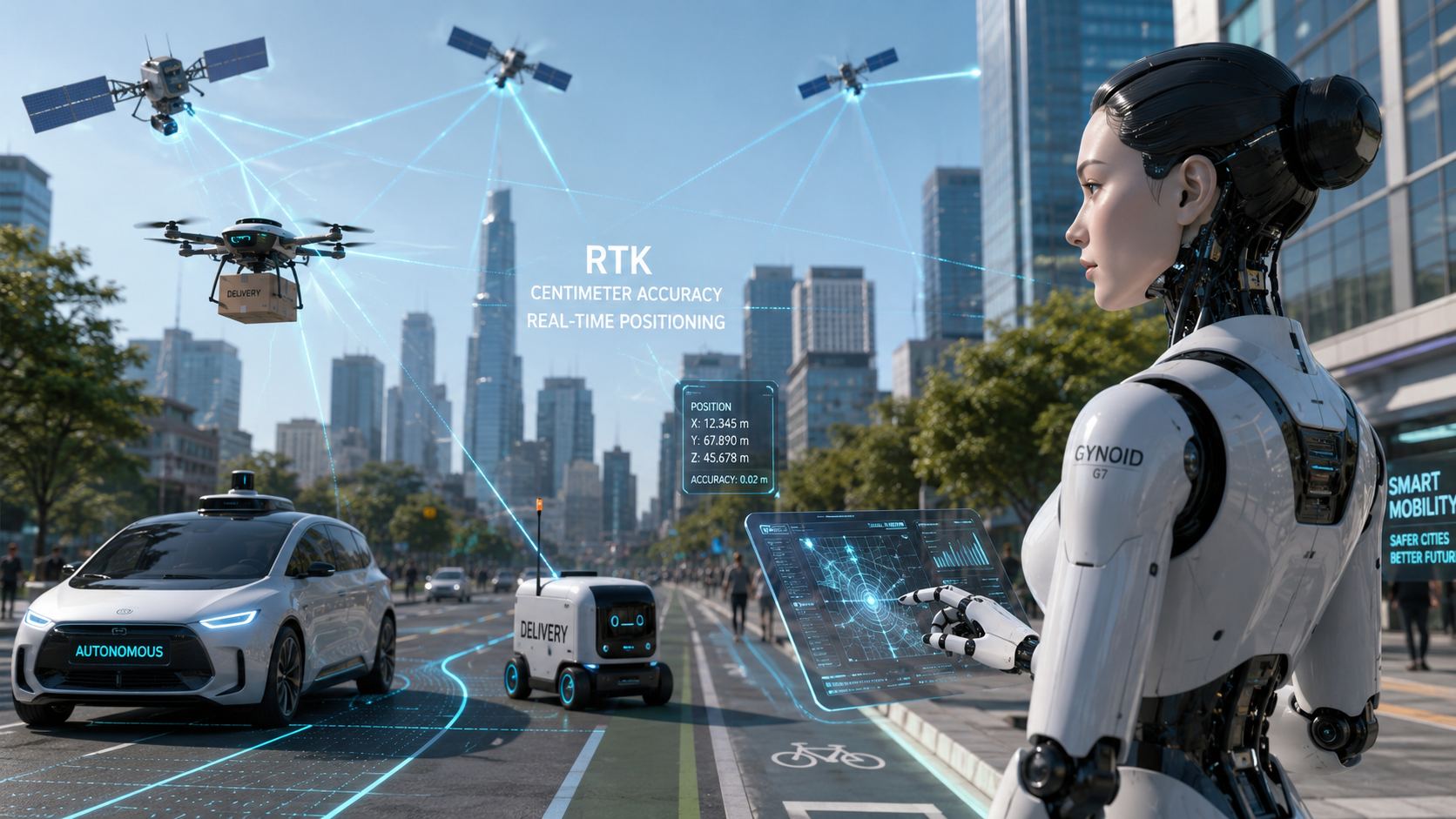
The autonomous city will not run on vibes, cameras and wishful GPS alone.
As self-driving vehicles begin to appear on public roads and robotics takes serious steps beyond the lab, one quiet technology could become a major enabler: RTK, or Real-Time Kinematic positioning. Already familiar to precision agriculture, where it helps tractors and autonomous mowers move with centimeter-level accuracy, RTK now looks ready to leave the field and hit the asphalt.
The stakes are simple: autonomous mobility needs to know exactly where it is. Not approximately. Exactly enough to understand a lane, a curb, a delivery zone or a safe drone corridor.
What RTK actually does
Standard GPS is good enough to find a coffee shop. It is not good enough to tell an autonomous vehicle which lane it is occupying.
RTK improves satellite positioning by using correction data from a reference station. Instead of accepting meter-level uncertainty, a compatible receiver can reach centimeter-level precision under the right conditions. That changes GNSS from a rough navigation tool into a precision layer.
Projects such as Centipede-RTK are pushing that idea further by building open, collaborative RTK infrastructure designed to make high-precision positioning more accessible.
Why RTK is moving beyond agriculture
Centipede-RTK found fertile ground in agriculture for a reason. A tractor that can follow a path with centimeter accuracy can reduce overlap, save inputs and automate repetitive work more reliably.
But limiting RTK to tractors and autonomous lawn mowers is a category error.
The same precision that helps a machine follow a crop row can help an urban robot stay on the correct side of a sidewalk, a delivery vehicle stop at the right loading bay, or a drone follow a safer corridor through a dense environment.
Agriculture may have been the proving ground. Cities could be the stress test.
Why autonomous mobility needs centimeter accuracy
Autonomous vehicles already rely on expensive sensor stacks: LiDAR, radar, 3D cameras, inertial units and high-definition maps. These systems are excellent at understanding the immediate environment.
But there is another question: where is the vehicle on the map?
A standard GNSS signal can drift by several meters. For a human with a phone, that is annoying. For an autonomous car, it can be the difference between one lane and another. For a delivery drone, it can mean uncertainty in already crowded airspace. For a pavement robot, it can decide whether the machine stays on route or becomes street furniture with wheels.
RTK gives autonomous systems a stronger absolute positioning reference. Not the whole brain, but a crucial sense of place.
RTK will not replace sensors — it will complete them
The smart way to look at RTK is not as a magic replacement for LiDAR or cameras.
Autonomous machines still need to detect pedestrians, cyclists, traffic lights, potholes, animals, construction zones and every other chaotic surprise reality likes to throw into the road. RTK does not “see” the world.
What it does is add a precise positioning layer to the sensor fusion stack. Cameras and LiDAR interpret the surroundings. IMUs track motion. Maps provide context. RTK helps anchor the machine in real-world coordinates.
That combination is where things get interesting.
Why open RTK networks matter
The future of autonomous mobility cannot depend only on closed, expensive infrastructure if cities want broad adoption.
That is where collaborative networks like Centipede-RTK become strategically interesting. By making RTK correction data more open and accessible, they lower the barrier for experimentation, research and local deployments.
It is not hard to imagine municipalities, universities, robotics startups and open mapping communities using this kind of infrastructure to test smarter mobility services without immediately locking themselves into heavy commercial stacks.
Of course, RTK has limits. Dense urban canyons, signal obstruction, multipath interference and network reliability all matter. Safety-critical autonomy will still require redundancy. But as a positioning layer, RTK is one of the most practical tools in the box.
The autonomous city will not be built by one sensor, one map or one AI model. It will be built by stacks. RTK could be one of the layers that makes those stacks precise enough to trust.
RTK and autonomous mobility: key questions
What is RTK?
RTK, or Real-Time Kinematic positioning, is a GNSS correction technique that can improve satellite positioning from meter-level accuracy to centimeter-level accuracy.
Why does RTK matter for autonomous vehicles?
Autonomous vehicles need precise absolute positioning to understand where they are on a map, including lanes, curbs, routes and operational zones.
Can RTK replace LiDAR or cameras?
No. RTK helps with precise positioning, while LiDAR, radar and cameras help machines detect and interpret their surroundings.
What is Centipede-RTK?
Centipede-RTK is an open, collaborative RTK network designed to make centimeter-level GNSS positioning more accessible.
Is RTK useful outside agriculture?
Yes. Potential use cases include autonomous cars, delivery robots, drones, mapping, logistics, smart cities and infrastructure monitoring.
Is RTK enough to make vehicles autonomous?
No. RTK is only one layer. Real autonomy requires sensor fusion, maps, AI decision-making, connectivity, regulation and strong safety systems.